Google Maps Street View (01:43 video introduction / explanation)
The Atlas of Climate Change : http://leonardo.info/reviews/jun2007/atlas_ryssen.html Mapping the World’s Greatest Challenge
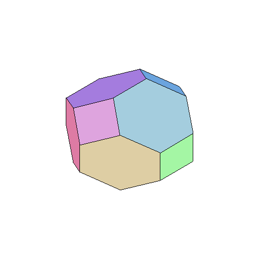
Geodesic Discrete Global Grid Systems : http://www.sou.edu/cs/sahr/dgg/pubs/gdggs03.pdf (PDF) View as HTML A hexagon-based grid has been adopted by the U.S. EPA for global sampling problems.
Evolution Concept Map : http://science.journalism.ku.edu/upload/2006/02/Rubensteinmap.jpg Via
A map of Learning to Think Spatially
Why Easily Available Satellite Images are Not a Big Threat
(Book) Flexagons Inside Out (contains "nets," or blueprints for flexagons)
Human Form From Sacred Geometry : http://www.internationaldigitalart.com/articles/henry.html
http://www.math.kochi-u.ac.jp/hemmi/kenkyuu/rotate_p4.gif --->>>
Map Reading Cartoons
"When eye and mind are in the same place one sees clearly and the visual world manifests directly." - Miksang Level I
"Between truth and the search for truth, I choose the second." - Bernard Berenson
"I get by with a little help from my friends." - John Lennon and Paul McCartney
No comments:
Post a Comment